Metes and Bounds Survey, Legal Description, and Monumentation for Oahu and Big Island Army Training Lands
Prime Consultant | Project Management | Surveying
Client: U.S. Army Corps of Engineers Location: Oahu and Big Island Army Training Lands Leased From State of Hawaii Project Type: Real Estate, Military
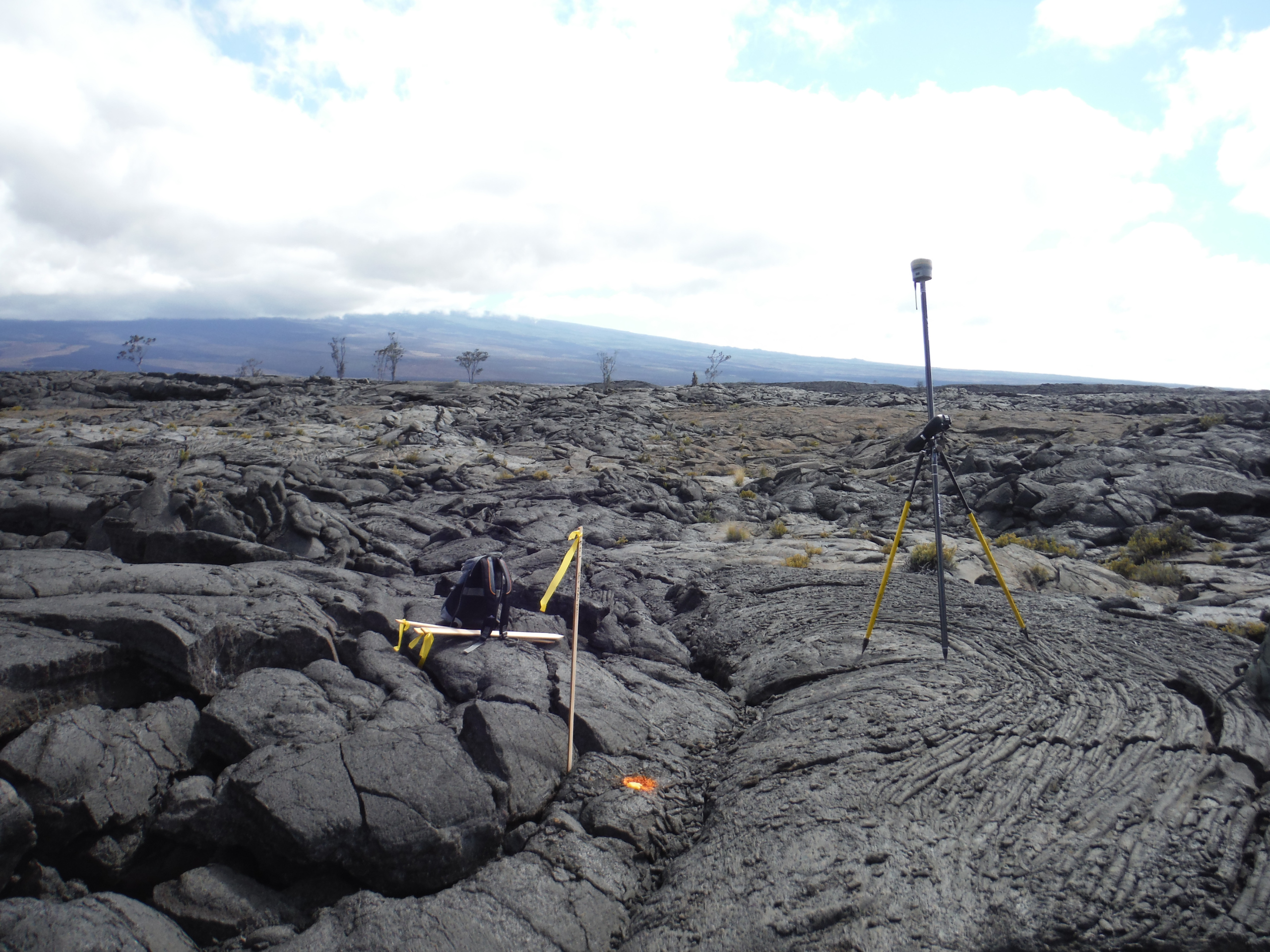
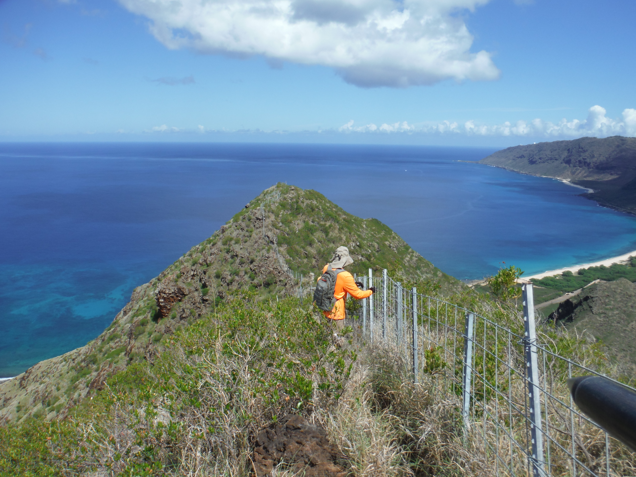
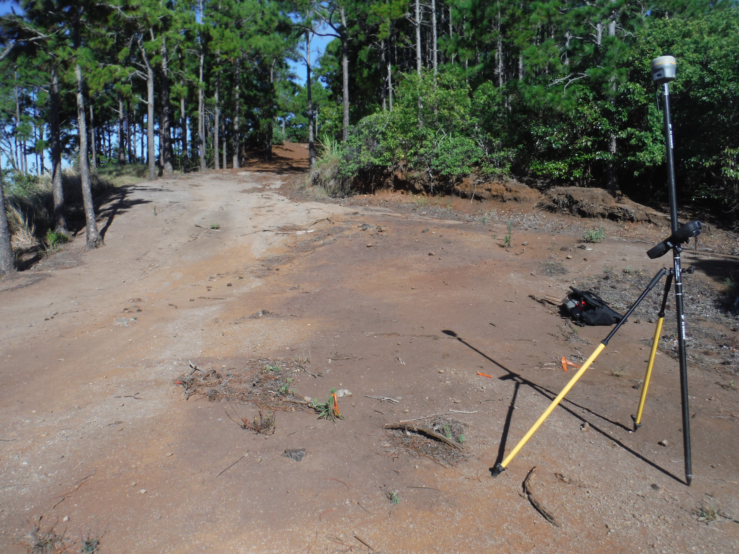
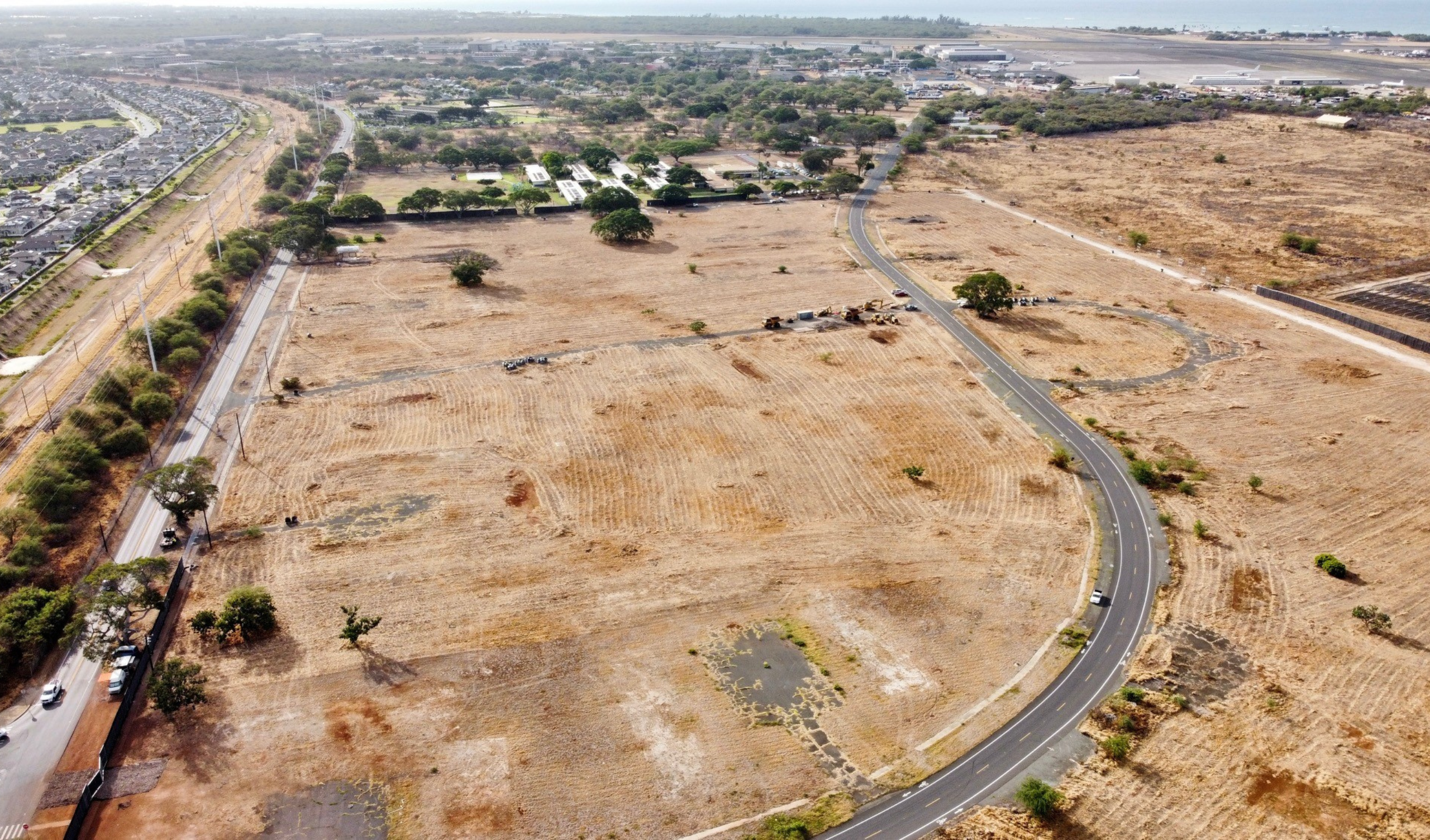
RMTC performed all work necessary for a Metes and Bounds Survey of Army lands leased from the State of Hawaii at the following locations: Pohakuloa Training Area – establish boundary of approximately 22,951 acres and metes and bounds survey of 8 parcels; Makua Military Reservation – establish boundary of approximately 722 acres and metes and bounds survey of 3 parcels; Kahuku Training Area – establish boundary of approximately 1,213 acres and metes and bounds survey of 2 parcels; and Kawailoa Training Area – establish boundary of approximately 4,327 acres and metes and bounds survey of the entire parcel. The boundaries of the interior parcels were surveyed and all real estate lease documents required for potential land acquisition were delivered. RMTC prepared and provided plans and metes and bounds descriptions to the State of Hawaii Bureau of Conveyances Standards for recordation by the U.S. Army Corps of Engineers. An unexploded ordinance (UXO) specialist for UXO survey/monitoring services assisted the surveyors at certain installations and a trained biologist/botanist accompanied the surveyors when working in the critical habitat areas.